


Login
Get Instant Pricing On 23,000+ Aircraft

>
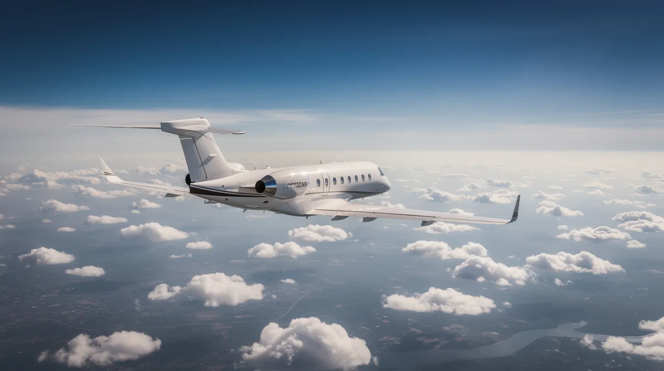
A Cessna range map is one of the fastest ways to answer a simple question: can your preferred aircraft make it nonstop from point A to point B? But the circles on that map rarely tell the whole story. This guide is designed for pilots, travelers, and aviation enthusiasts who want to understand how far Cessna aircraft can fly, how to interpret range maps, and how to use them for practical route planning. Understanding a Cessna range map is essential for safe and efficient flight planning, as it helps you determine whether your chosen aircraft can complete a route nonstop, compare different Cessna models, and make informed decisions about your travel or mission requirements. This article explains how to use a Cessna range map to plan flights and compare the range of different Cessna aircraft.
A Cessna range map shows how far specific Cessna aircraft models can fly from a chosen departure airport under ideal conditions.
It is a visual flight planning tool that helps narrow down which airplane fits a given mission.
Real-world adjustments are required before confirming any route.
Aircraft range maps help pilots calculate flight distance based on fuel capacity, cruise speed, atmospheric conditions, and airport details.
Cessna provides interactive range maps for visualizing flight distances from departure points.
Range maps display maximum flight distances of private jets in nautical miles.
Over 140 private jets can be compared using range mapping tools.
Up to ten aircraft can be compared simultaneously.
Published range figures show theoretical maximum values under optimal conditions.
Actual jet range may be 5–15% lower in real operations due to various factors.
Jettly helps travelers compare aircraft types on practical range, cabin size, and cost for specific missions.
Use Cessna's online range map and Jettly's charter tools to determine which Cessna models can complete preferred routes nonstop.
A range map is a graphical tool that helps pilots calculate and visualize the maximum flight distance an aircraft can cover from a specific departure point under ideal conditions. It shows theoretical maximum values and is used for initial flight planning. A Cessna range map specifically displays the approximate reach of selected Cessna models from a chosen departure airport. It helps pilots and travelers visualize maximum flight distances based on ideal conditions such as zero winds, standard atmosphere, long-range cruise power settings, and typical passenger load.
Visually, a typical range map looks like a base map with concentric circles or shaded areas radiating outward from a specific airport—for example, KJFK or KLAX. The larger the circle, the greater the flight range of that aircraft type.
Range maps use nautical miles, the aviation standard for distance measurement, and often allow toggling between metric and imperial units.
With a clear understanding of what a Cessna range map is and how it works, let's explore the differences between published range figures and real-world maximum range.
Published maximum range figures from manufacturers like Cessna are generated under controlled test conditions using specific assumptions.
These figures are for comparison and marketing but do not guarantee real-world performance.
The Cessna Skyhawk has a published maximum range of 640 nautical miles.
Practical nonstop range for the Skyhawk is typically 5–15% lower, around 500–600 NM, after accounting for fuel reserves, routing detours, and wind.
The Cessna Skylane has a maximum range of 915 nautical miles.
The Cessna Grand Caravan EX turboprop has a maximum range of approximately 912 nautical miles.
The Cessna Citation Longitude jet has a brochure range of 3,500 nautical miles.
The longest-range private jets can fly between 7,000 and 7,700 nautical miles.
Actual jet range may be 5–15% lower than published figures due to operational factors.
Now that we've seen how published and real-world ranges differ, let's look at how different Cessna models compare in their typical range profiles.
Cessna aircraft range capabilities vary widely across models, from single-engine piston trainers to midsize business jets, each with distinct range footprints.
|
Cessna Model |
Maximum Range (NM) |
|---|---|
|
Cessna 172S Skyhawk |
640 |
|
Cessna 182 Skylane |
915 |
|
Cessna Grand Caravan EX |
912 |
|
Cessna Citation Longitude |
3,500 |
Single-engine piston models (Cessna 172S Skyhawk, 182 Skylane, 206):
Range between 640 NM (Skyhawk) and 915 NM (Skylane).
Best for regional cross-country flights and access to smaller airports.
Pilots evaluating longer trips may compare them with other options using a guide to the best cross-country planes.
Turboprops (Grand Caravan EX):
Approximately 912 NM maximum range.
Ideal for island hops, remote strips, cargo, and medevac operations.
Often featured in guides to affordable aeroplane rent for utility and charter missions.
Light Citation jets (CJ3+, M2 Gen2):
Maximum range between 1,300–2,000 NM.
Enable nonstop routes like Toronto–Miami or Paris–Athens.
Midsize and super-midsize Citations (Latitude, Sovereign+, Longitude):
Range from about 2,700 NM (Latitude) to 3,500 NM (Longitude).
Capable of transcontinental legs such as New York–San Francisco or Dubai–Athens.
Strong candidates for travelers seeking a NetJets alternative with flexible charter.
Jettly's platform helps travelers explore and compare these range footprints for specific routes by giving on-demand access to a broad selection of private charter aircraft.
With a clear comparison of Cessna aircraft ranges, let's move on to how you can use a Cessna range map for practical route planning.
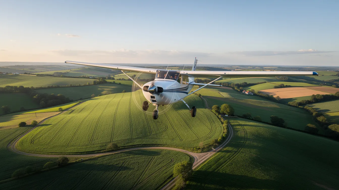
Use the range map as an initial screening tool to narrow down aircraft options.
Select your starting point and aircraft type to view the shaded area indicating possible nonstop reach.
Use tools like Jettly's airport locator tool to identify convenient departure and destination airports.
Compare intended destinations against the theoretical maximum range circle.
Flag destinations near the circle's edge as uncertain.
Confirm feasibility with a flight planning tool or charter broker, considering wind, fuel reserves, and alternate airport requirements.
Account for seasonal factors such as typical winds and airport elevation, which can significantly affect private jet range.
Use Jettly's digital platform for instant pricing and aircraft availability through its private jet charter cost estimator.
Before diving into the specific factors that affect a Cessna range map's accuracy, let's summarize the main elements that influence aircraft range.
Aircraft range is influenced by several key factors:
Wind: Headwinds decrease range, while tailwinds increase it.
Payload: More passengers, baggage, and cargo increase weight and reduce range.
Altitude: Higher altitude can improve fuel economy but may increase headwinds.
Temperature: Hotter conditions increase fuel consumption and affect climb performance.
Operational conditions: The intersection of payload, fuel load, and operating conditions affects aircraft performance.
Published range figures are based on optimal conditions and may be 5–15% higher than what is achievable in real-world operations.
Now, let's look at how these factors specifically impact the accuracy of a Cessna range map.
Wind: Headwinds decrease groundspeed and reduce practical range; tailwinds extend it.
Payload: More passengers, baggage, and cargo increase weight and fuel consumption, reducing range.
Altitude: Higher altitude can improve fuel economy but may increase headwinds depending on the route and season.
Temperature: Hot conditions affect climb performance and increase fuel burn, especially at high-elevation airports.
Fuel reserves and alternates: Legal and best-practice reserves reduce the fuel available for the main leg.
Other factors: Weight, power settings, and operating conditions intersect to affect aircraft performance, especially on longer legs.
Advanced range maps and planning tools integrate these variables for mission-specific insights. Jettly relies on such operational assumptions when advising clients.
With an understanding of the factors that affect range map accuracy, let's see how Cessna range maps compare to other aircraft types using Jettly's tools.
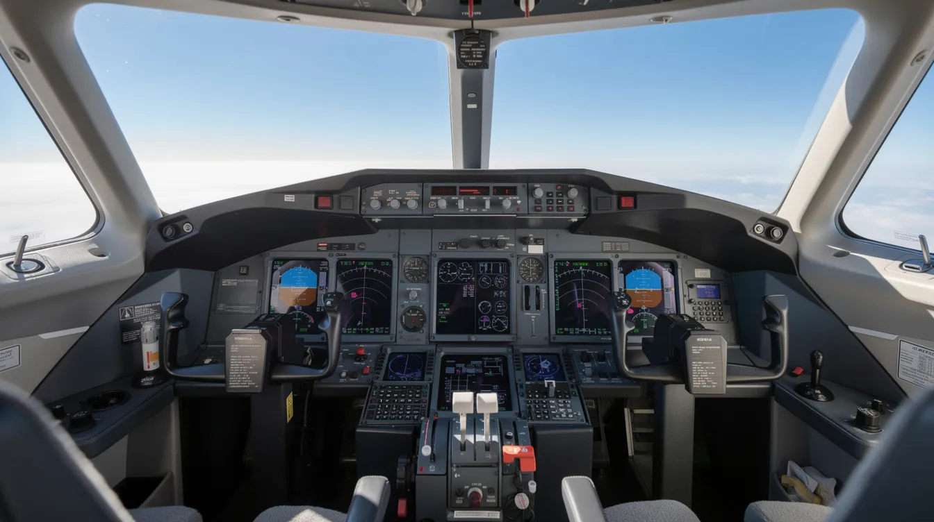
Travelers often compare Cessna aircraft with competitors from Embraer, Gulfstream, or Bombardier.
Jettly's range mapping tools allow comparison of over 140 private jets, displaying distances in nautical miles.
Users can compare up to ten aircraft side-by-side, including widebody options like the Airbus A330-300 for long-haul missions.
Interactive maps let users compare models like the Citation CJ3+ against competing light jets for popular city pairs.
Users can contrast Cessna jets with higher-capacity airliners such as the Boeing 737-800, with a 3,195 NM range.
Travelers can evaluate cruise speed, cabin volume, and operating costs to find the best fit.
Jettly's resources on affordable private jet charter help users understand pricing.
Ultra-long-range jets capable of 7,000–7,700 nautical miles support intercontinental travel.
Most domestic routes fall within Cessna Citation capabilities.
Aircraft like the Boeing 777-200 LR with a 9,000 NM range represent the extreme end of intercontinental capability.
Jettly offers access to over 20,000 aircraft globally, including many Cessna models.
Real-time availability and pricing are available through flexible private jet memberships.
After comparing Cessna range maps with other aircraft, let's see how Jettly helps turn these insights into confirmed flights.
Users can start with a range map to see if a Citation Latitude can cover a route nonstop.
Request instant pricing and quotes for specific aircraft and routes.
Flight advisors suggest alternative aircraft types if the route is near the edge of a model’s range.
Advisors ensure safe fuel margins and help frequent flyers choose suitable jet card programs.
Final route planning incorporates operator data, fuel planning standards, and current weather.
Never rely solely on static maps for final planning.
Offset costs by using Jettly's platform to crowdsource private jet flights and share empty seats.
Request a personalized quote at https://www.jettly.com.
With these steps, you can confidently move from theoretical range maps to confirmed private flights.
Cessna and other OEM range maps illustrate theoretical maximum range in still air, but operators always verify each route with performance data, weather, and fuel requirements. Actual jet range may be 5–15% lower than published figures. Treat range maps as orientation tools and rely on platforms like Jettly for confirmation.
Several Citation models, including Latitude, Sovereign+, and Longitude, cover many North American transcontinental routes nonstop under typical conditions. However, strong headwinds, high payload, or alternate airport requirements may necessitate fuel stops on certain days.
Check the approximate trip distance on a range map to identify piston, turboprop, light jet, or midsize Citation categories. Jettly matches group size, luggage, and comfort preferences with specific models, helping travelers compare cost, speed, and cabin space, and its Jet Card flight cost estimator can give quick pricing guidance for common routes.
A range map can show when a longer-range Cessna jet enables nonstop flights, saving time. Access to smaller airports closer to destinations further reduces door-to-door travel time compared to commercial flights, especially when paired with affordable, budget-friendly aircraft choices for owners and frequent flyers.
Review Cessna aircraft options, compare with other private types, and request instant quotes through Jettly's online platform, including high-performance models like the Citation X with a 3,000 NM range. Visit https://www.jettly.com to explore flights or request personalized quotes based on your route and dates.
A Cessna range map provides a valuable foundation for understanding the potential reach of various Cessna aircraft models under ideal conditions. However, for precise and safe flight planning, it is essential to consider operational factors such as maximum zero fuel weight, weather reserves, payload, and altitude. These elements influence the actual range and efficiency of the aircraft, often reducing published maximums by 5–15%.
For comparison purposes and practical route planning, pilots and travelers should use range maps as an initial step and then begin the detailed process of flight planning with real-world data, weather updates, and alternate airports in mind. Platforms like Jettly offer advanced tools and expert support to help convert theoretical range into confirmed flights, ensuring convenience and confidence in private jet travel.
Ready to enjoy private travel tailored to your needs? Discover flight options or get a personalized quote at https://www.jettly.com.
Share this post:
Jay Franco Serevilla
Aug 15, 2026
|
5
min read
Discover tips and trends in the industry.
5
min read
Jet Stream Turbulence: What Private Fliers Need to Know
Jet stream turbulence is a common challenge for private fliers, occurring unexpectedly in clear skies and often causing discomfort. Understanding its causes and effects can help travelers manage their flights more effectively, especially as climate change is projected to increase turbulence severity. This article outlines practical strategies for navigating jet stream turbulence, including flexible routing and aircraft selection.
Read More
5
min read
Turbulence in Planes: What It Is, How Pilots Handle It, and Why Private Jets Feel Different
Turbulence is a common concern for air travelers, often misunderstood but generally not dangerous. This guide explains the science behind turbulence, how pilots manage it, and why private jets can offer a smoother experience. Understanding turbulence can help alleviate anxiety and enhance confidence during flights.
Read MoreStay updated with our latest insights and tips to elevate your journey with us.
MEMBERSHIPS AND ASSOCIATIONS



Disclaimer: Jettly operates as a charter broker, offering access to a global digital jet charter marketplace. Jettly is not a direct air carrier and does not own or operate aircraft. All advertised flights are conducted by third-party air carriers that are fully licensed and hold the appropriate Part 135 or Part 121 certifications issued by the Federal Aviation Administration (FAA) or equivalent regulatory authorities under U.S. or foreign law. Jettly complies fully with the U.S. Department of Transportation's Part 295 and Part 298 Charter Broker regulations. Jettly does not carry additional liability insurance. Passengers are covered by aircraft operator insurance. TICO: 50023770


